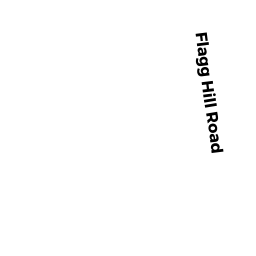
4 FLAGG HILL ROAD
Owner Information
FULTON GRANGER
4 FLAGG HILL RD
ERVING, MA 01344


Property Details
4 FLAGG HILL ROAD is classified as a Single Family Residential (Ranch).
The primary structure on this property was built in 1996. There are 1,152ft2 of built area within this property. There is 1,152ft2 of residential/living space within this property. This property is listed as having 5 rooms.
4 FLAGG HILL ROAD is valued at $262,900. The land is valued at $96,600 and the structures are valued at $163,300. There is an additional valuation of $3,000 on this property.
This property is in Zone CV. Confirm with local Zoning Board authorities to ensure there are no overlays or other easements on this property.
The most recent deed for 4 FLAGG HILL ROAD is recorded at the local registrar in Book 6362, Page 55. 4 FLAGG HILL ROAD was last sold on Monday, April 22, 2013 for $100.
Assessment data from fiscal year 2022.
Flood Data
According to the FEMA National Flood Hazard Layer, this property does not appear to be in a flood zone. It may also be in an area not yet reviewed. Nonetheless, confirm this information prior to taking any action.
To view the flood hazards around this property, create a FEMA "Firmette" Map of the area around 4 FLAGG HILL ROAD.
Broadband Internet Providers
| Provider | Type | Bandwidth (mbps) | |
|---|---|---|---|
| HughesNet | Satellite | 25 | 3 |
| Verizon New England Inc. | DSL | 5 | 0 |
| Comcast | Cable | 1000 | 35 |
| GCI Communication Corp. | Satellite | 0 | 0 |
| Viasat Inc | Satellite | 100 | 3 |
| VSAT Systems, LLC. | Satellite | 2 | 1 |
Broadband service provider data from December 2020.
Adjacent Properties
- 6 FLAGG HILL ROAD
Single Family Residential owned by LUX BETH - 12 FLAGG HILL ROAD
Accessory Land with Improvement owned by HILL REALTY TRUST FREEDOM - 0 MOUNTAIN ROAD
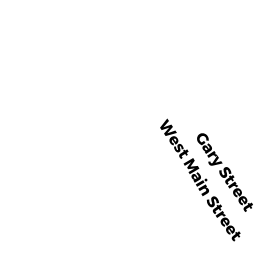
Cemeteries (Charitable Org.) owned by ERVING TOWN OF - 8 GARY STREET
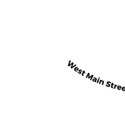
Single Family Residential owned by HUBBARD VIRGINIA - 0 WEST MAIN STREET
Mass. Highway Dept. (MHD) (non-reimbursable) owned by MASSACHUSETTS COMMONWEATH OF - WEST MAIN STREET
Mass. Highway Dept. (MHD) (non-reimbursable) owned by MASSACHUSETTS COMMONWEATH OF - 0 WEST MAIN STREET
Mass. Highway Dept. (MHD) (non-reimbursable) owned by MASSACHUSETTS COMMONWEATH OF - 2 1/2 FLAGG HILL ROAD
Single Family Residential owned by PYDYCH THOMAS